
Traces of the Battle of Sakarya and Gordion
A driving route from the village house in Alagöz that served as the headquarters of the Western Front and Mustafa Kemal Paşa in the summer of 1921 to the Mehmetçik Monument in Polatlı and Duatepe, retaken in the offensive of September 10, 1921; it ends at the museum of the Phrygian capital Gordion, the Midas Tumulus with its wooden burial chamber, and the UNESCO-listed ancient city.
- Estimated duration
- ~5 h 15 min
- Straight-line distance (estimate)
- ~53 km
- Getting around
- By car
- Stops
- 5 stops
Duration and distance are estimates. Distance is the straight-line sum between stops; the actual road is longer. Check with a maps app before you set off.
Safety and caution
Route map
Numbers show the order of stops; the dashed line is a straight-line link between stops, not the actual road.
Map data © OpenStreetMap contributors (ODbL).
Stops
- 1
- 2
~41 km from the previous stop (straight line)

Monument and statue
Mehmetçik Monument
Polatlı, Ankara
~40.54 km as the crow flies from the previous stop
View place - 3
~3.5 km from the previous stop (straight line)
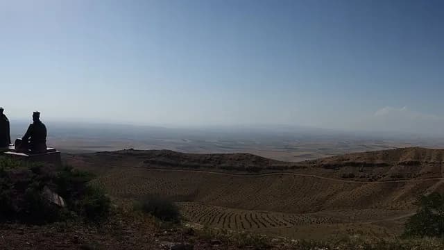
Martyrs' memorial and battlefield
Duatepe Monument and Martyrs' Memorial
Polatlı, Ankara
~3.46 km as the crow flies from the previous stop
View place - 4
~7.7 km from the previous stop (straight line)
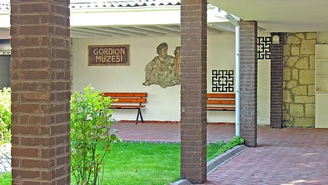
Museum
Gordion Museum and Midas Tumulus
Polatlı, Ankara
~7.7 km as the crow flies from the previous stop
View place - 5
~1.6 km from the previous stop (straight line)
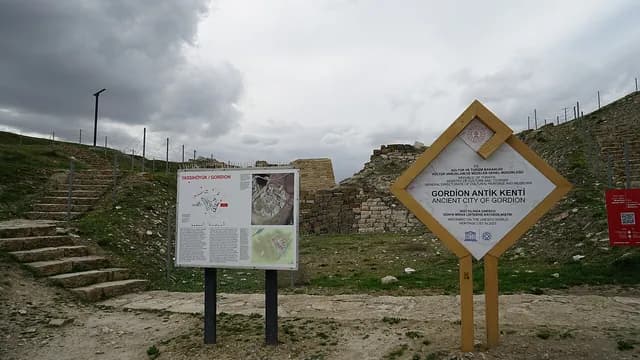
Ancient city
Gordion Ancient City
Polatlı, Ankara
~1.6 km as the crow flies from the previous stop
View place

More routes in Ankara
See all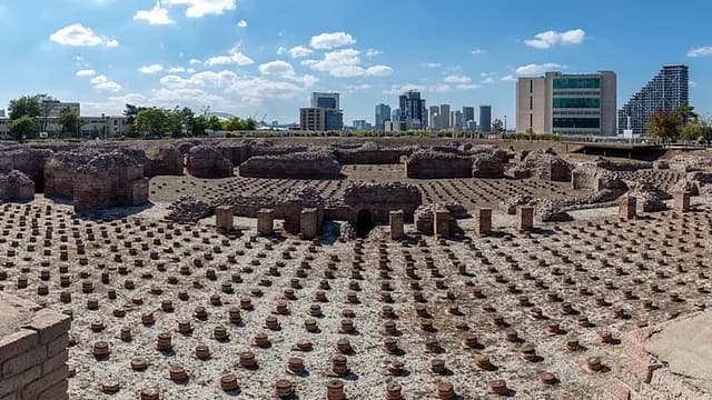 City walkMachine translated — This content was machine-translated and may differ from the original Turkish text.
Ankara
A day in Ankara: Rome and the Republic in Ulus
A walk in Ulus that starts at the remains of the Roman Bath from the time of Caracalla and continues to the Hacı Bayram-ı Veli Mosque, the Temple of Augustus bearing the Res Gestae inscription, and the Column of Julian, known as the Belkıs Minaret; it ends at the museums in the First Parliament building, where the Republic was proclaimed, and the Second Parliament building, which housed the parliament from 1924 to 1960.
6 stops ~3 h 45 minWalking HistoryMachine translated — This content was machine-translated and may differ from the original Turkish text.
Ankara
Old Ankara from the Citadel to Hamamönü
A route that climbs from the Museum of Anatolian Civilizations, housed in the Mahmut Paşa Bedesten and Kurşunlu Han, to Ankara Castle, then visits the wooden-columned Ahi mosques of Arslanhane and Ahi Elvan; it ends at the house-museum in the Taceddin Dervish Lodge, where Mehmet Âkif wrote the İstiklal Marşı (National Anthem), and the restored Hamamönü houses.
6 stops ~4 h 45 minWalking