On the foothills of Kaz Dağı
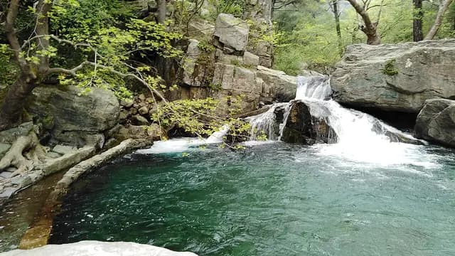
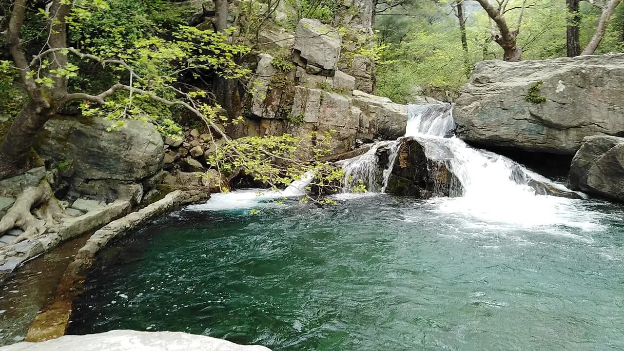
From the shore of the Gulf of Edremit to the slopes of Kaz Dağı (Mount Ida): the pool-filled valley of Hasanboğuldu, the Pınarbaşı entrance of the national park, the Tahtakuşlar gallery on Tahtacı Turkmen culture, and Mıhlı Waterfall with its two pools.
- Estimated duration
- ~4 h 45 min
- Straight-line distance (estimate)
- ~26 km
- Getting around
- By car
- Stops
- 4 stops
Duration and distance are estimates. Distance is the straight-line sum between stops; the actual road is longer. Check with a maps app before you set off.
Safety and caution
Route map
Numbers show the order of stops; the dashed line is a straight-line link between stops, not the actual road.
Map data © OpenStreetMap contributors (ODbL).
Stops
- 1
- 2
~4.2 km from the previous stop (straight line)

National park
Kazdağı National Park (Pınarbaşı)
Edremit, Balıkesir
View place - 3
~3.8 km from the previous stop (straight line)
Museum
Tahtakuşlar Ethnography Gallery
Edremit, Balıkesir
View place - 4
~18 km from the previous stop (straight line)
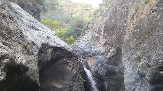
Waterfall
Mıhlı Waterfall
Edremit, Balıkesir
View place