Nature / Yayla (highland pasture)
Uluyayla and Uluyayla Cave
Ulus, Bartın
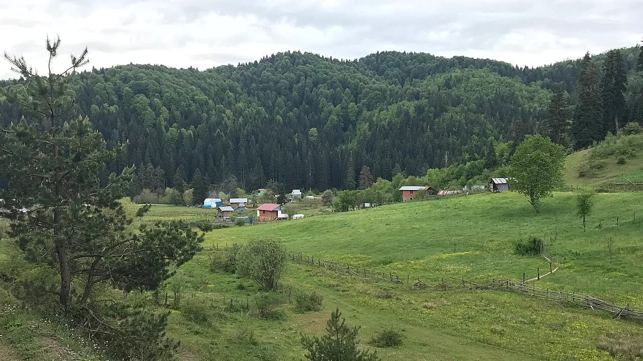
Uluyayla, 27 km from Ulus, amid a vast sea of forest, with its yayla, springs and a cave with a stream running through it.
Safety warning
Its story
Uluyayla lies about 27 km from the Ulus district and is an area with an average elevation of 1000 meters, rising from 300 meters at Ovacuma to 1416 meters at Göktepe. The untouched forests around it hold conifers and broadleaf trees along with hundreds of understory plant species. The yayla plateau is the Kalkanlı locality and stretches along the Karabük–Bartın border. Uluyayla Cave is in the Bartın part of the yayla, with a stream flowing through it; it is notable for its cool air and traces of old settlement. In summer, with its yayla houses, pastures and springs, it is a quiet nature stop.
Key facts
- Elevation
- Average 1000 m
- Best season
- June–September
- Getting there
- 27 km from Ulus
Trip purpose
- Seasonal
- Quiet
- Camping
- Hiking
Location
41.53985, 32.77848
Where to eat nearby
No food & drink venues listed nearby.
Map data: © OpenStreetMap contributors; Overture Maps
Reviews
No approved reviews yet. Reviews are written in the app after a visit.
Source: Web derlemesi (doğrulanmalı): https://bartin.ktb.gov.tr/TR-69028/yaylalar.html | https://bartin.ktb.gov.tr/TR-69021/magaralar.html | https://tr.wikipedia.org/wiki/Uluyayla,_Karab%C3%BCk | https://www.openstreetmap.org/?mlat=41.539849&mlon=32.778484#map=17/41.539849/32.778484