Nature / Summit
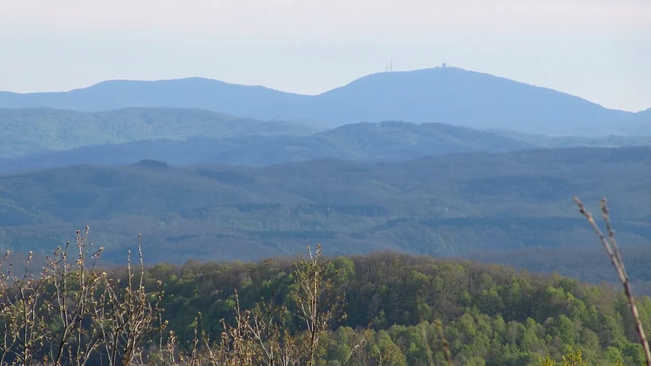
Mahya Dağı (Mount Mahya)
Demirköy, Kırklareli
At 1,031 meters, the highest peak of the Istranca (Yıldız) Mountains; a forested summit looking toward Bulgaria.
Safety warning
Its story
Mahya Dağı is the highest point of the Yıldız (Istranca/Strandzha) Mountains, reaching about 1,031 meters. Its slopes are covered with beech and oak forests; on clear days Bulgarian territory can be seen from around the summit. As there is a military radar installation at the summit, access to the very top is not permitted. The forest roads around it offer a quiet area for walking and nature photography.
Key facts
- Note
- Military area at the summit
- Elevation
- About 1,031 m
Trip purpose
- Photography
- Quiet
- Hiking
Location
41.78333, 27.61667
Where to eat nearby
No food & drink venues listed nearby.
Map data: © OpenStreetMap contributors; Overture Maps
Reviews
No approved reviews yet. Reviews are written in the app after a visit.
Source: Web derlemesi (doğrulanmalı): https://tr.wikipedia.org/wiki/Mahya_Da%C4%9F%C4%B1 | https://en.wikipedia.org/wiki/Mount_Mahya | https://www.wikidata.org/wiki/Q1402638