Nature / Lake
Keşiş Lake (Rusa Lake) and Urartian Dam
İpekyolu, Van
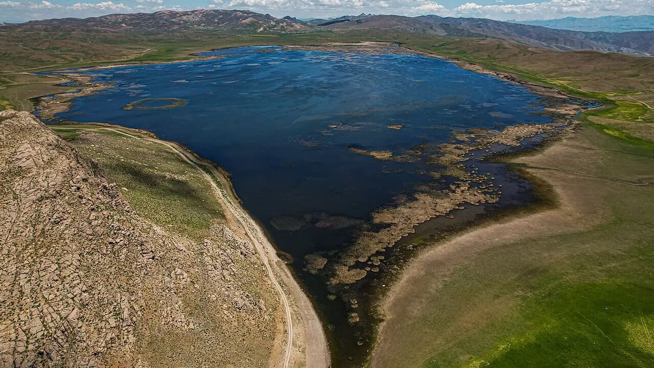
A reservoir on the highland above 2500 meters behind Mount Erek, created with the dams of the Urartian King Rusa II and holding water for 2700 years.
Safety warning
Its story
The lake, created in the time of the Urartian King Rusa II (7th century BC) by blocking a small stream on the highland with two dams, has over time taken on the appearance of a natural lake. It is called Rusa Lake after its builder, Turna Gölü (Crane Lake) because it hosts many cranes, and popularly Keşiş Gölü (Monk's Lake). At an altitude of about 2550 meters above sea level, the lake's area varies between 4 and 7 km² depending on rainfall. The Urartians carried the water taken from here through canals to the Van Plain, Tushpa and Toprakkale; the system is accepted as having worked for 2700 years. From late spring the lake's surroundings become the villages' summer pasture; it is also an important breeding area for waterbirds. The dam point is a good stop for seeing ancient water engineering on site.
Key facts
- Period
- 7th century BC (Rusa II)
- Altitude
- ~2550 m
- Getting there
- ~30 km from central Van, highland road
- Visit duration
- 1–2 hours
Trip purpose
- Seasonal
- Photography
- Quiet
- Hiking
Location
38.46659, 43.58147
Reviews
No approved reviews yet. Reviews are written in the app after a visit.
Source: Web derlemesi (doğrulanmalı): https://tr.wikipedia.org/wiki/Keşiş_Gölü | https://en.wikipedia.org/wiki/Menua_Canal | https://www.wikidata.org/wiki/Q139421318