
Cappadocia's underground cities and Şahinefendi
A route from the Derinkuyu and Kaymaklı underground cities on the Nevşehir–Niğde road to Mazı, anciently known as Mataza; also along the way are the 'Üzümlü Kilise' (Grape Church), opened in 1858, a rock-cut church decorated with frescoes telling the story of the Forty Martyrs, and the ancient city of Sobesos with its colorful floor mosaics.
- Estimated duration
- ~5 h 15 min
- Straight-line distance (estimate)
- ~29 km
- Getting around
- By car
- Stops
- 6 stops
Duration and distance are estimates. Distance is the straight-line sum between stops; the actual road is longer. Check with a maps app before you set off.
Safety and caution
Route map
Numbers show the order of stops; the dashed line is a straight-line link between stops, not the actual road.
Map data © OpenStreetMap contributors (ODbL).
Stops
- 1
- 2
~190 m from the previous stop (straight line)

Church
Church of St. Theodore Tyron (Derinkuyu)
Derinkuyu, Nevşehir
~0.19 km as the crow flies from the previous stop
View place - 3
~9.9 km from the previous stop (straight line)

Archaeological site
Kaymaklı Underground City
Merkez, Nevşehir
~9.92 km as the crow flies from the previous stop
View place - 4
~7.6 km from the previous stop (straight line)
Archaeological site
Mazı Underground City
Ürgüp, Nevşehir
~7.6 km as the crow flies from the previous stop
View place - 5
~10 km from the previous stop (straight line)
Church
Church of the Forty Martyrs (Şahinefendi)
Ürgüp, Nevşehir
~10.11 km as the crow flies from the previous stop
View place - 6
~1.3 km from the previous stop (straight line)

Ancient city
Sobesos Ancient City
Ürgüp, Nevşehir
~1.31 km as the crow flies from the previous stop
View place

More routes in Nevşehir
See all CultureMachine translated — This content was machine-translated and may differ from the original Turkish text.
Nevşehir
Rock churches and stone mansions from Göreme to Mustafapaşa
After the Göreme Open-Air Museum with its fresco-decorated rock churches and the Tokalı Church, whose frescoes tell the life of Jesus in sequence, the route continues to Ortahisar Castle, thought to have been a refuge in the Byzantine period, and the ethnography museum that brings village life to life; it ends at the stone mansions of Mustafapaşa, formerly known as Sinasos, and the Church of Saints Constantine and Helena, dated 1729.
6 stops ~4 h 45 minBy car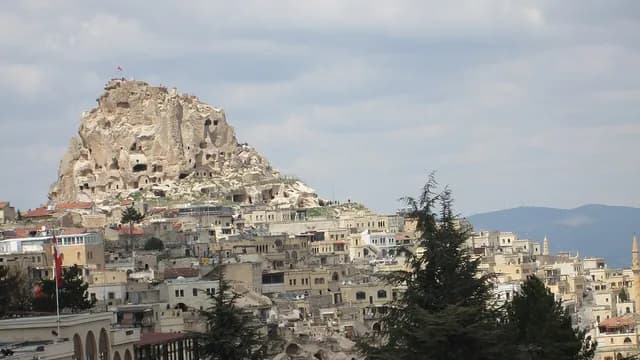 NatureMachine translated — This content was machine-translated and may differ from the original Turkish text.
Nevşehir
Cappadocia valleys and fairy chimneys
A route starting at Uçhisar Castle, hollowed out with rooms, to the valley known for its dovecotes, the Aşk Vadisi (Love Valley) with its pointed fairy chimneys and Paşabağ, where multi-capped fairy chimneys are concentrated; it ends with the Zelve rock village, inhabited until the 1950s, and the Devrent Valley with rocks resembling animal figures.
6 stops ~5 h 15 minBy car