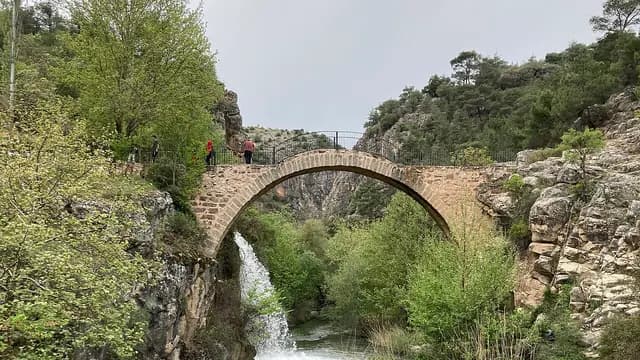
Ulubey Canyon and the Banaz Çayı valley
A driving route from the Roman-era Clandras aqueduct in the Banaz Çayı valley and Pepuza, center of the Montanist movement, to the glass viewing terrace of Ulubey Canyon, carved by the same stream, Blaundos, surrounded by canyons on three sides, and Aksaz Hot Springs.
- Estimated duration
- ~5 h 45 min
- Straight-line distance (estimate)
- ~31 km
- Getting around
- By car
- Stops
- 5 stops
Duration and distance are estimates. Distance is the straight-line sum between stops; the actual road is longer. Check with a maps app before you set off.
Route map
Numbers show the order of stops; the dashed line is a straight-line link between stops, not the actual road.
Map data © OpenStreetMap contributors (ODbL).
Stops
- 1
- 2
~2 km from the previous stop (straight line)
Archaeological site
Pepuza Ancient City
Karahallı, Uşak
View place - 3
~14 km from the previous stop (straight line)
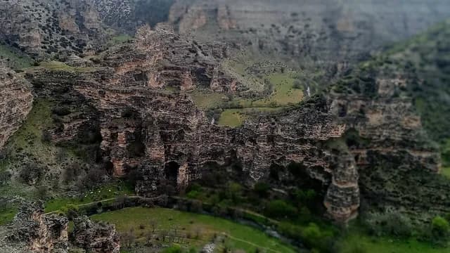
Nature park
Ulubey Canyon Nature Park
Ulubey, Uşak
View place - 4
~8.4 km from the previous stop (straight line)
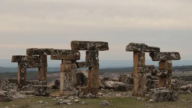
Ancient city
Blaundos Ancient City
Ulubey, Uşak
View place - 5
~5.9 km from the previous stop (straight line)
Hot spring
Aksaz Hot Spring
Ulubey, Uşak
View place