66 · City guide
Yozgat
The Bozok Plateau and the first national park
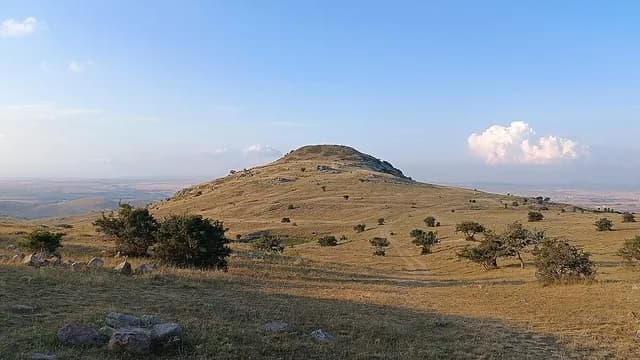
Yozgat lies within the bend of the Kızılırmak, on the high steppe known as the Bozok Plateau. The city developed under the Çapanoğulları, who ruled the region in the 18th century; the Baroque-influenced Çapanoğlu Mosque, the clock tower and the wooden mansions are the legacy of this period. Yozgat Çamlığı (pine forest), just south of the city, was declared Türkiye's first national park in 1958. Around Sorgun, the Iron Age capital on Kerkenes Mountain and the Alişar, Çadır and Uşaklı mounds show the region's importance in the Hittite and earlier periods. Basilica Therma in Sarıkaya is a Roman bath where hot water has flowed since the 2nd century. Kazankaya Canyon in Aydıncık and Üçtepeler in Sorgun for nature, and testi kebabı (pottery kebab), arabaşı and çanak peyniri for the table, make Yozgat worth a visit.
Machine translated — This content was machine-translated and may differ from the original Turkish text.25
Places
2
Routes
0
Badges
Where shall we explore?




Practical information
Machine translated — This content was machine-translated and may differ from the original Turkish text.- Note
- Most mounds and archaeological sites are excavation areas; visitor facilities may be limited
- Climate
- Continental; cold, snowy winters and mild, dry summers
- Best season
- May–September
- Getting there
- The Ankara–Sivas high-speed train line passes through the province; the nearest airports are Ankara Esenboğa and Kayseri; about 220 km to Ankara by road
- Getting around
- The Çapanoğlu Mosque, the Clock Tower and the Yozgat Museum are in the center; a private vehicle is needed for archaeological sites