08 · City guide
Artvin
Province of the Çoruh valley, Georgian churches and Karagöl
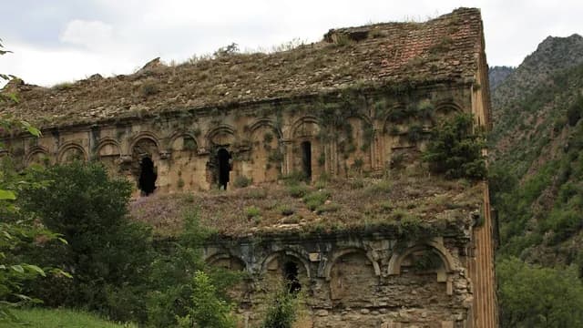
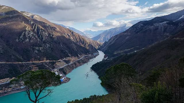
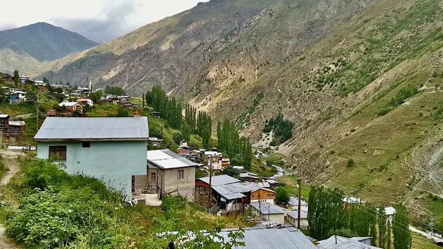
Artvin is a mountainous province stretching from Hopa and Arhavi on the Black Sea coast to the interior of the Kaçkar and Yalnızçam mountains; the provincial center is built on steep slopes overlooking the Çoruh River valley. Known in the Middle Ages as Tao-Klarjeti, the region was one of the centers of the Georgian kingdoms; İşhan and Parhali in Yusufeli, the castles and monasteries of Ardanuç and the Tbeti ruins in Şavşat are traces of this heritage. Karagöl and the Camili (Macahel) Biosphere Reserve in Borçka, the Sahara yayla (highland pasture) in Şavşat and the Hatila Valley make up the province's protected nature. The culture and arts festival held every summer on Kafkasör Yaylası in the center is known for its bull wrestling. On the coast, the Sarp Border Gate opens to Georgia.
Machine translated — This content was machine-translated and may differ from the original Turkish text.34
Places
2
Routes
0
Badges
Where shall we explore?





Practical information
Machine translated — This content was machine-translated and may differ from the original Turkish text.- Note
- The Yusufeli Dam reservoir has altered some of the old roads and settlements; yayla and forest roads may close in winter, so check current road conditions
- Climate
- Rainy, mild Black Sea climate on the coast; drier, more continental conditions in Şavşat, Ardanuç and Yusufeli
- Best time
- June–September; the Kafkasör Festival and bull wrestling take place in early summer, and the forests change color in autumn
- Getting there
- Rize–Artvin Airport (Pazar, Rize) is about 54 km from Hopa and about 125 km from central Artvin; the Sarp Border Gate in Kemalpaşa provides a crossing to Georgia
- Getting around
- The provincial center is built on steep slopes; a private vehicle is recommended for the Kafkasör, Karagöl, Macahel and Yusufeli routes