33 · City guide
Mersin
History and sea on the Cilician coast
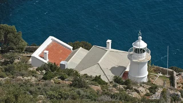
Mersin stretches along a coastline of about 320 km, from Tarsus at the edge of the Çukurova plain in the east to Cape Anamur in the west. Known in antiquity as Rough and Plain Cilicia, these lands were home to cities such as Soli Pompeiopolis, Elaiussa Sebaste, Korykos, Diokaisareia and Anemurion. A few kilometers inland from the coast are karst sinkholes such as Cennet-Cehennem (Heaven and Hell), and in the foothills of the Taurus Mountains, cool yaylas (highland pastures) such as Gözne and Çamlıyayla. Today a major port city, Mersin is also known for culinary specialties such as tantuni, cezerye and kerebiç.
Machine translated — This content was machine-translated and may differ from the original Turkish text.84
Places
2
Routes
0
Badges
Create a trip plan for Mersin
Where shall we explore?






Practical information
Machine translated — This content was machine-translated and may differ from the original Turkish text.- Tip
- Most ancient cities are in open areas; in summer, go early in the morning and bring a hat and water.
- Climate
- Typical Mediterranean climate: hot, humid summers and mild, rainy winters.
- Best season
- April–June and September–November; in summer the coast is very hot and humid, while the yaylas are cool.
- Trip length
- 2 days for the center + Tarsus, 2 days for the Kızkalesi–Silifke route, and 1–2 days for the Mut–Anamur route are recommended.
- Getting there
- Çukurova International Airport (Tarsus) is about 40 min from the city center; the Adana–Mersin commuter train and the D400 coastal road connect the districts.